Maps presented here have been prepared with the kind permission of
Curious World Maps, used worldwide for illustrating news and documentary reports on television and the internet. Navigation charts are edited from charts published by the Defense Mapping Agency.
ORIENTATION MAPS
Orientation maps are linked from the thumbnail images at right to locate place names identified elsewhere on this site. Orientation maps include the
Nordic Seas,
Atlantic Crossing,
Caribbean Sea,
North Africa,
Mediterranean Sea,
Java Sea,
Coral Sea,
New Guinea,
Pacific Islands,
Philippine Islands,
Japan and southern approaches and
Aleutian Islands.
AREA MAPS
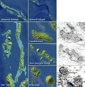
Area maps provide additional detail regarding the
Solomon Islands,
Sicily,
Italy and the
South of France.
OTHER MAPS AND CHARTS
In addition to images linked from this page, maps and charts may be found as follows:
TRACK CHARTS
Modern digital technology makes possible a degree of accuracy that far surpasses that available to writers of deck logs, after action reports, etc. at the time of an event. Often, multiple sources do not agree on positions; even multiple charts from single sources may be discrepant.
A major objective in preparing track charts for this site, therefore, has been to depict information from trusted sources in a consistent manner. In some cases, this involves scanning and tracing originals. In others it involves replotting courses using information given in deck logs and then attempting to correct for turning radii, known positions, etc.
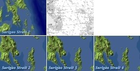
Battle of Surigao Strait, 25 October 1944
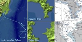
Sagami Wan and Tokyo Bay, 1945


